iGIS app for iPhone and iPad
4.4 (
9904 ratings )
Business
Navigation
Developer:
Geometry
Free
Current version:
8.4.6, last update: 4 years ago
First release : 05 Jan 2010
App size: 87.64 Mb
iGIS - The worlds first and leading iOS GIS.
True GIS functionality is now available on the iPhone! Your iPhone. Your data. Your maps.
iGIS represents a new era in mobile GIS solutions by enabling users to load, view, investigate, create and export their own data over a background of map service imagery.
Importing data is easy with our unique data import facility using the USB cable or wirelessly on your Mac, PC and Linux. Raster data in many formats (pre-processing required) and ESRI Shapefiles (.shp) are supported at the moment.
Your spatial data is stored on the iPhone, so there’s no need for an Internet connection to see your data – great for field work. We also support over 3000 projections, so no need for re-projection.
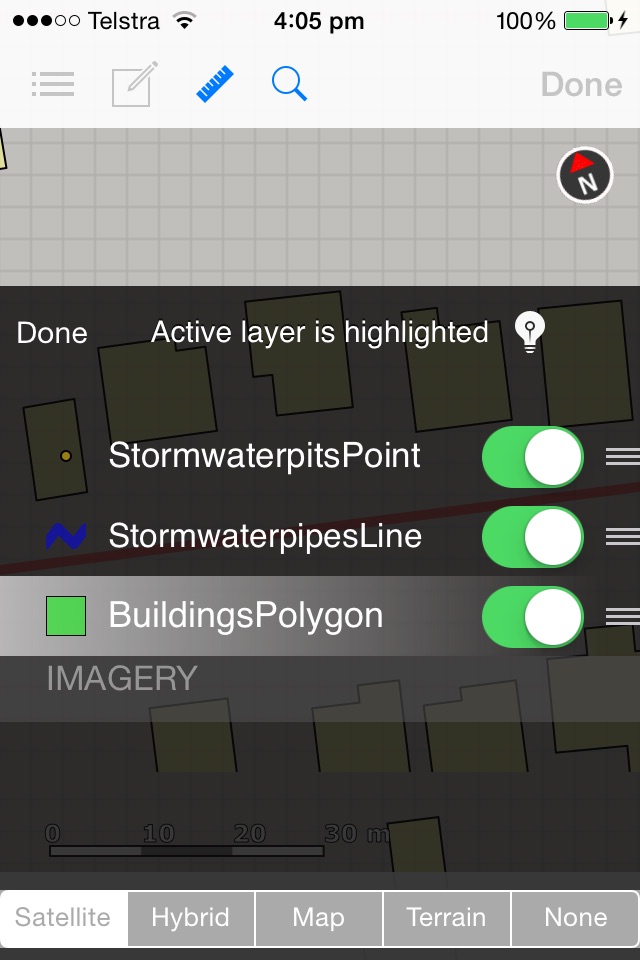
We include support for multiple layers of points, lines, and polygons – all styled as you like. Imagery layers too in V5.
Add comments to your maps - A point layer is added with a name and description field.
Add and edit your own layers, via the map display and customisable data entry forms.
Export your layers to ESRI shapefiles for use back in your enterprise.
Other features include:
- Great speed, using our multi-threaded map renderer.
- Support for large datasets.
- Import and export of ESRI Shapefiles.
- Display current GPS location in your chosen projection ( + compass)
- Zoom to current location
- Zoom to data extent
- Map Pan, zoom in, zoom out
- Changeable drawing styles for a layer: size, color, transparency
- Set the draw order and visibility of map layers
- Set the zoom scale for layers via a simple slider
- Select and interrogate feature attributes via point and click
This application is designed for GIS professionals and an understanding of some basic GIS concepts such as layers, shapefiles, projections etc, would make using iGIS simpler. Please let us know if concepts in iGIS are unclear.
Continued use of GPS running in the background can dramatically decrease battery life.
Pros and cons of iGIS app for iPhone and iPad
iGIS app good for
This is very easy to use, and easy to quickly collect simple GIS data out in the field. If you have ESRI software its easy to
set the data up before and no need to edit the glc files. Developer seems open to suggestions and is already planning additions to future versions. (Labelling and link to photos possibly)
Pros:
- Free!
- Able to import shapefiles (points, polygons, etc), reads attributes well.
- Streams Google satellite imagery and able to set alpha of layers
- Cool way to choose a "cover" image for your project
- Good performance
- Excellent support of projections and coordinate systems
- Works well with iTunes for importing/exporting custom data. Good instructions.
Cons:
- Easy to forget you are in "Identify" features mode when you mean to pan the map. Would also be nice if user could customize the size of the selection rectangle for "Identify" features mode.
- Raster images are compressed too much by the 3rd party maptiler software which is necessary to create compatible tiles. Would prefer if it could also handle KMZ files containing custom raster maps. The help file has decent instructions for using maptiler.
- Sometimes you have to press "Done" and re-enter the project for your custom raster maps to display despite enabling the layers visibility.
- Occassional crashes when loading imagery/data but generally stable.
- Have to use (go to project info. screen and change "Editing Layer") an imported points layer containing points when adding waypoints in the field otherwise it gives an error, something about next feature ID not existing...
Well done The Geometry Team!
For on the field, this app is great. Its not only free but if your working in vector model this is more then adequate. Ive tried most of the gis apps in the app store and this is by far the most user friendly and its free - GIS Student
Some bad moments
First "GIS" tool in AppStore with a very nice GUI and a fast shape- rendering engine. But for basic functions like visulising *.shp and request (only one) selected layer, the app is too expensive. For a real GIS there a to many missed functions
- WMS/WFS/GeoRSS integration
- Image-overlaying
- vectoreditor for own geometries
- geoprozessing (buffer, distance, 9IM - between geometries)
- posibility to save defined styles
- scale
- position input via gui
- distance/area tool
- RGB/Hex-Value input posibility for styles
- gradient for self defined attribute intervals
- posibility to define different styles for thematic vectors in one shapelayer, so if you want to define different style for a special shape attribute, you have to import the same shp x-Times (x = count of different attribut-values) and set a filter for the attributevalue you want to decorate with a specific style.... But then you have the proplem thats just allowed to request only one layer. so you have to Import the shape again (without any filter) and then set the style to full transparent. So you can request all attributes with the oppertunity to present them in diferent styles
Nice Tool for basic GIS functions, but too expensive
The import works great and I am able to put very large amounts of data on the map. I have not been able to get the export to work. Nothing shows up in the list. The app needs some enhancements but a very good first version.
Good GIS program for field vertification. I like that I can take 400 MB with of shapefiles and view them in the field. Wish they would add the ability to import custom imagery instead of depending on Google. I have encountered a couple of bugs that crash the software. In addition, I cant get any features symbology to be brown. Always converts it to yellow. Other than that, great tool for my iTouch.
Dont get me wrong, I like the basic idea, which is why I coughed up $20, but did anybody bother to test this thing? Its completely unusable -- it crashes at every corner. I cant believe they have the gall to even put this up for sale! Fix it, and Ill revise my opinion, but for now this is a big fat THUMBS DOWN. And Im asking Apple for my money back.
I am a professional land surveyor and has high hopes for this application. This software is presently just shy of junk. Amazing when it works but it rarely does especially with larger datasets. Crashes OFTEN. I would like my money back. Twenty dollars is a lot of money for this piece of shoddy programming.
Wow, I must of been lucky. Mostly it works for me. Yes it does crash once in a while and for some reason it will not import 3 of my layers but other than that it keeps getting better after every revision. All my attribute data shows up perfect.